ENVIRONMENTAL FACTORS 2

In recent years, concerns about global warming have come to the fore. Global sea level rise averages 30mm per decade as our oceans warm and expand, and the ice caps melt. This is clear cause for concern for us all, and in 2019 the Leader of Wirral Council acknowledged that we are now in a state of climate emergency.
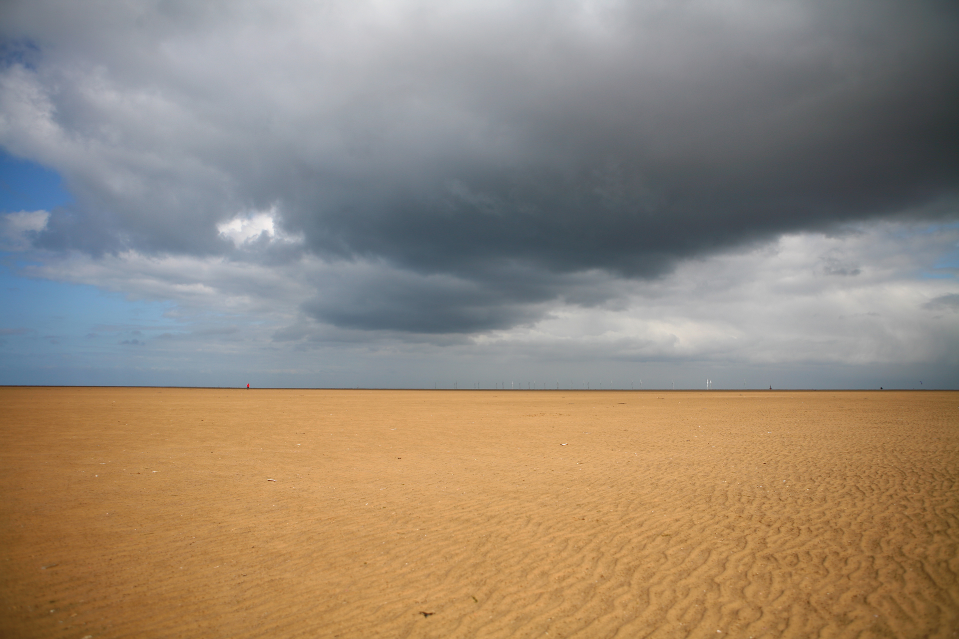
But it is not just sea level rise that gives cause for concern at Hoylake. As a consequence of sand accretion, the beach itself is rising, at a much higher rate. In fact, the beach is rising at ten times the rate of sea levels, and this is happening evenly across the foreshore. According to a report commissioned by Wirral Council in 2000, called “The Beaches At West Kirby And Hoylake: Options For Managing Wind Blown Sand And Habitat Change”, the whole beach rose by 600mm between 1980 and 2000.¹
At this rate Hoylake beach will have risen by more than two metres above 1980 levels by 2050. In 1999 alone, more than 70,000 cubic metres of wind blown sand was added to the foreshore between Stanley Road and Hoyle Road, an area of just one square kilometre, exacerbated by the extreme weather events of that year.
This does not mean that Hoylake will enjoy improved coastal defence. Because the beach is so flat, very high storm tides will still reach the promenade and cause damage, as happened in 2014. All indications suggest extreme weather events are set to increase in frequency.
Surface water drainage will be compromised as the drains that empty on to the beach become more frequently blocked by sand. Water will back up in the drains system; a likely outcome being damaged drains, releasing into the surrounding soil, washing away the subsurface of roads, causing potholes or even more extensive road collapse (sink holes).
Vegetation will become more widely and rapidly established as the beach becomes muddier and eventually drier as it is much less frequently ‘washed’ by the tide. This process is already clearly evident in parts.
Wind blown sand will reach roads and private gardens more frequently and in greater quantity than at present, requiring more frequent clearing, at ever increasing cost.
In its Executive Summary, the report said:
“the rising beaches on this part of Wirral are part of the natural evolution of the coast. As beaches get higher and the coast becomes more sheltered from wave action there will be a natural succession of habitats inducting the formation of salt marshes and sand hills... The Report concludes that the existing approach to managing rising beach levels and the wind blown sand problem is not sustainable in the long-term. Continuing with the existing reactive management measures on its own is not a realistic option because the wind blown sand problem is going to get worse. Costs will continual to spiral upwards and the number of complaints received by the Metropolitan Borough of Wirral (MBW) from residents and visitors will also increase. The wind blown sand issue is not the result of coast defence works by MBW but crucially is connected with the geomorphological evolution of Liverpool Bay and the Dee Estuary since the last glaciation.”
It went on to propose a series of field trials that have never taken place. Further, up until the date of the survey, Wirral Council conducted annual Bulk Analysis Surveys to record data on beach levels and sand accretion. Since then, beach profile data has been recorded instead.